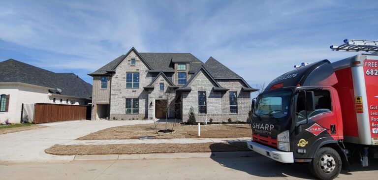
Local. Family Owned. Trusted.
Professional gutter services
Our Services How Can We Help You?
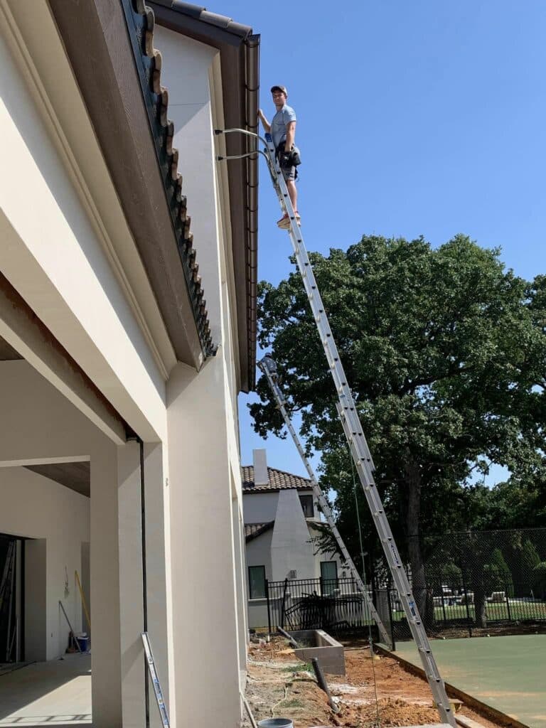
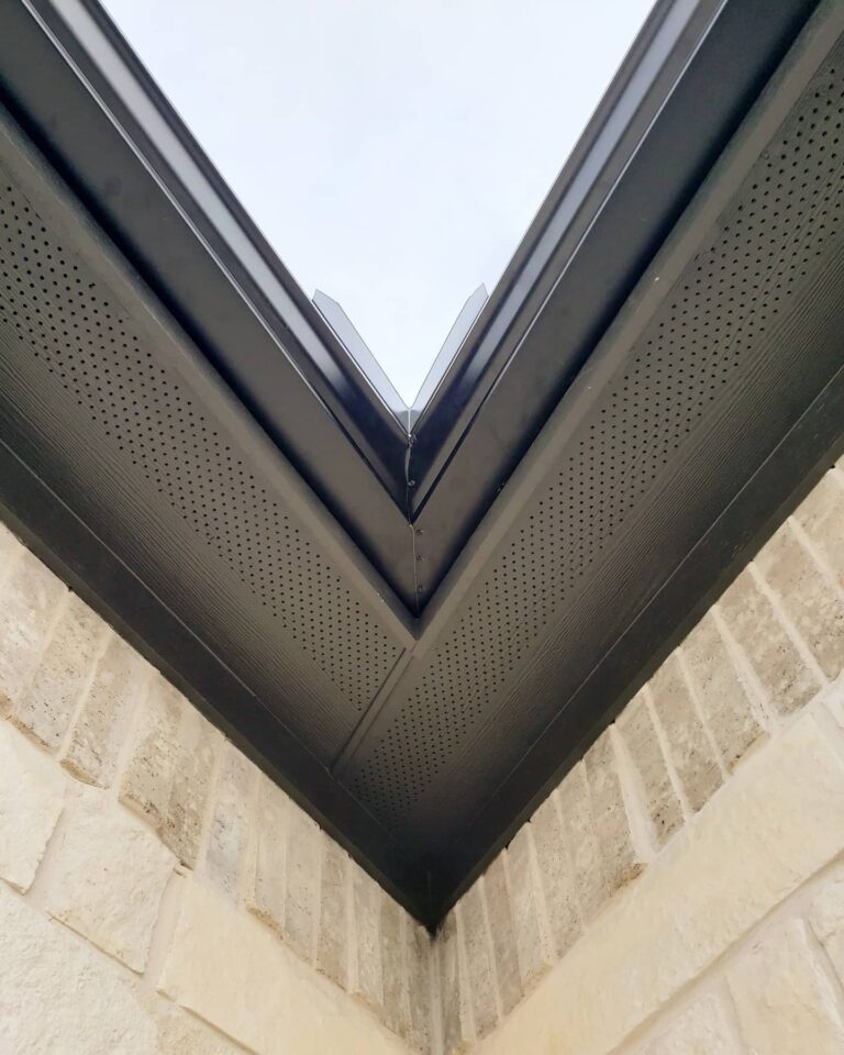
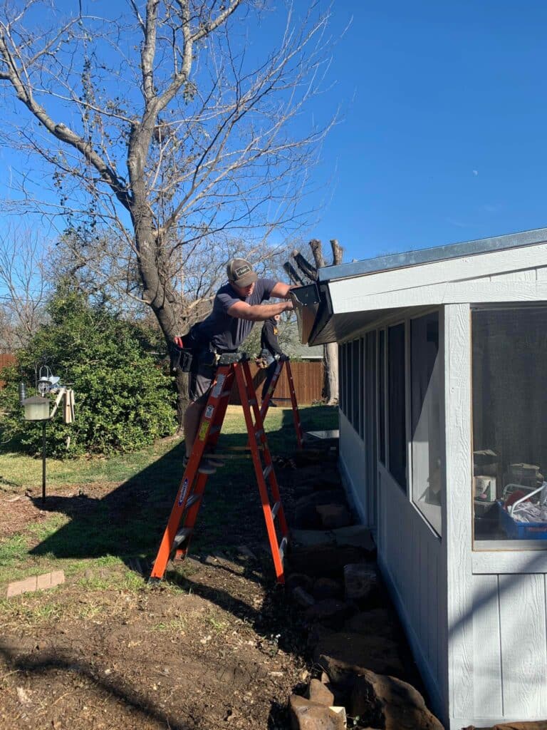
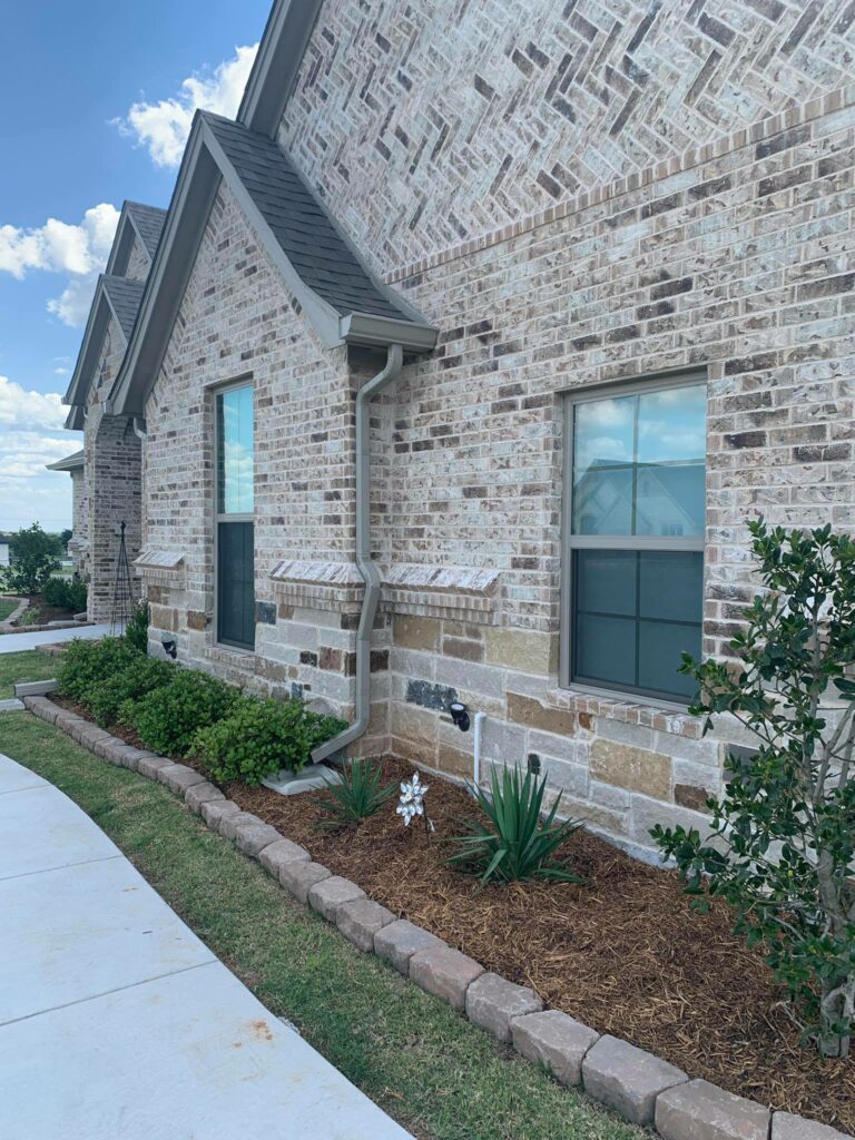
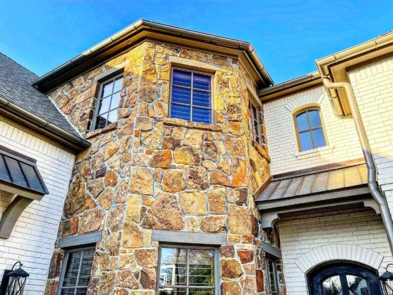
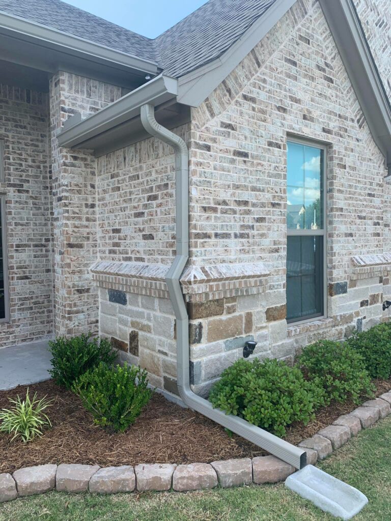
Gutter Install
Experience precision and expertise with our professional gutter installation services. Whether you're building a new home or upgrading your existing gutter system, we ensures seamless installations using top-quality materials and a meticulous approach, tailored to your property's unique needs.
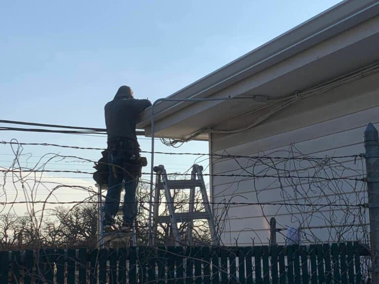
Gutter Repairs
Trust our skilled team to identify and address any issues with your gutters. From minor repairs to extensive fixes, we specialize in restoring the functionality of your gutter system. Prompt attention to repairs helps prevent further damage and ensures your gutters continue to protect your property effectively.
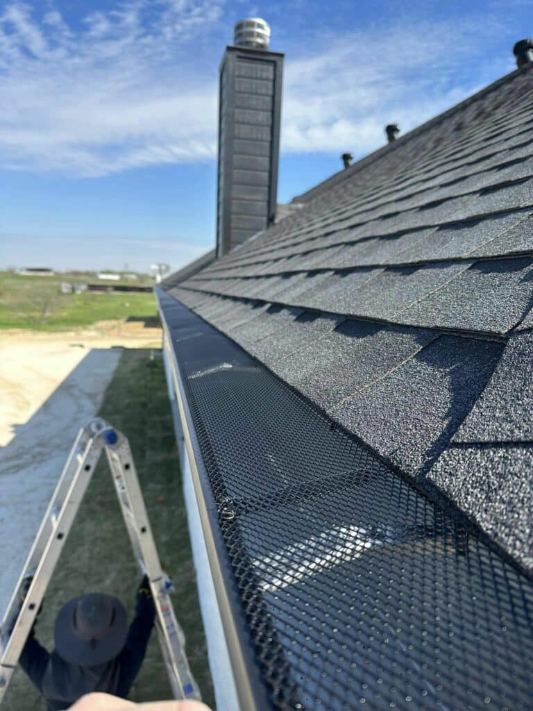
Gutter Guards
Say goodbye to frequent gutter cleanings with our advanced gutter guard solutions. Our specially designed covers provide an effective barrier against debris, preventing clogs and reducing maintenance needs. Enjoy the convenience of a low-maintenance gutter system with Sharp Seamless Gutters.
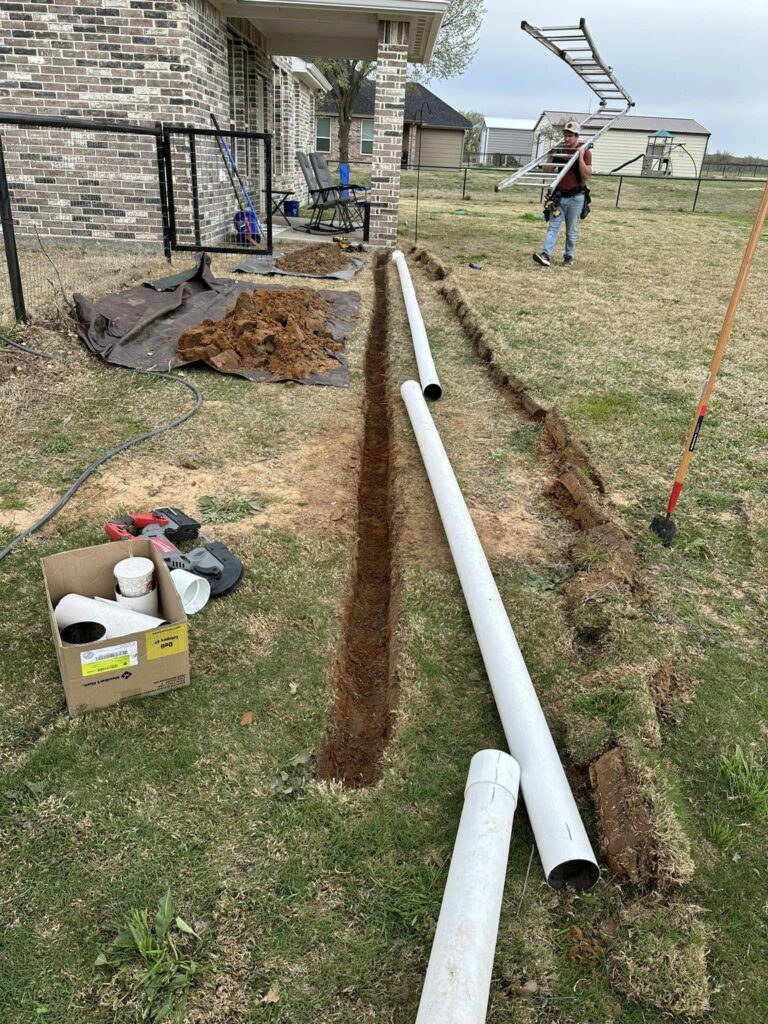
French Drainage
Enhance your property's drainage system with our expert French drainage solutions. Designed to redirect water away from vulnerable areas, our French drainage systems effectively manage excess water, preventing soil erosion and potential damage to your home's foundation.
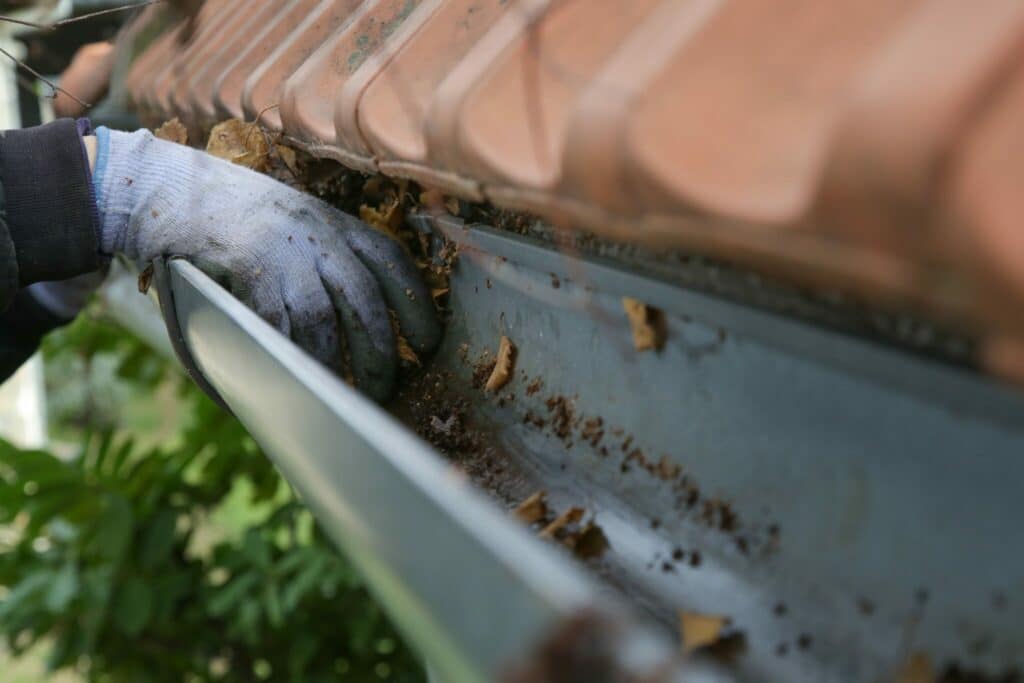
Gutter Cleaning
Keep your gutters in optimal condition with our efficient gutter cleaning services. Our team swiftly and effectively removes debris, leaves, and buildup, preventing potential issues such as water damage and mold. Regular cleaning ensures your gutters can handle the elements and function seamlessly.
Are Your Gutters Ready to Face the Elements?
Discover How Sharp Seamless Gutters Ensures Long-Lasting Protection!
Are Your Gutters in Need of Expert Care?
Sharp Seamless Gutters Can Inspect, Repair, or Replace Them with Ease!
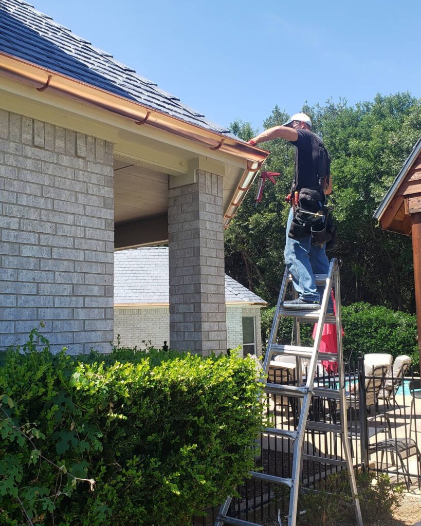
Have you noticed or suspected that your gutters may have damage? Our team will inspect your gutters, find the issue, and determine a plan for how to best repair your gutters. If your gutters are past the point of repair, we can replace them for you. We can install several different gutter types and materials, such as aluminum, vinyl, galvanized, and copper gutters. We will ensure that the process of working with us from your quote to our team cleaning up our workstation after we’ve completed your service is easy and stress-free.
If you’re looking for a gutter company in the DFW area, Sharp Seamless Gutters is the answer. We have what it takes to install and maintain your gutter system, so you get the most out of it. To learn more about the services we offer, make sure you contact our team today!
Want the Best? Choose the Best!
Seeking Trustworthy Gutter Solutions in DFW?
See How Sharp Seamless Gutters Delivers Excellence in Installation!
4 Reasons to Hire
a Professional for Your Gutters
1
Expertise and Experience
2
Quality Workmanship
4
Time and Cost Efficiency
3
Customized Solutions